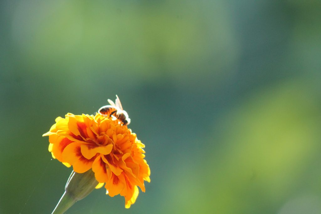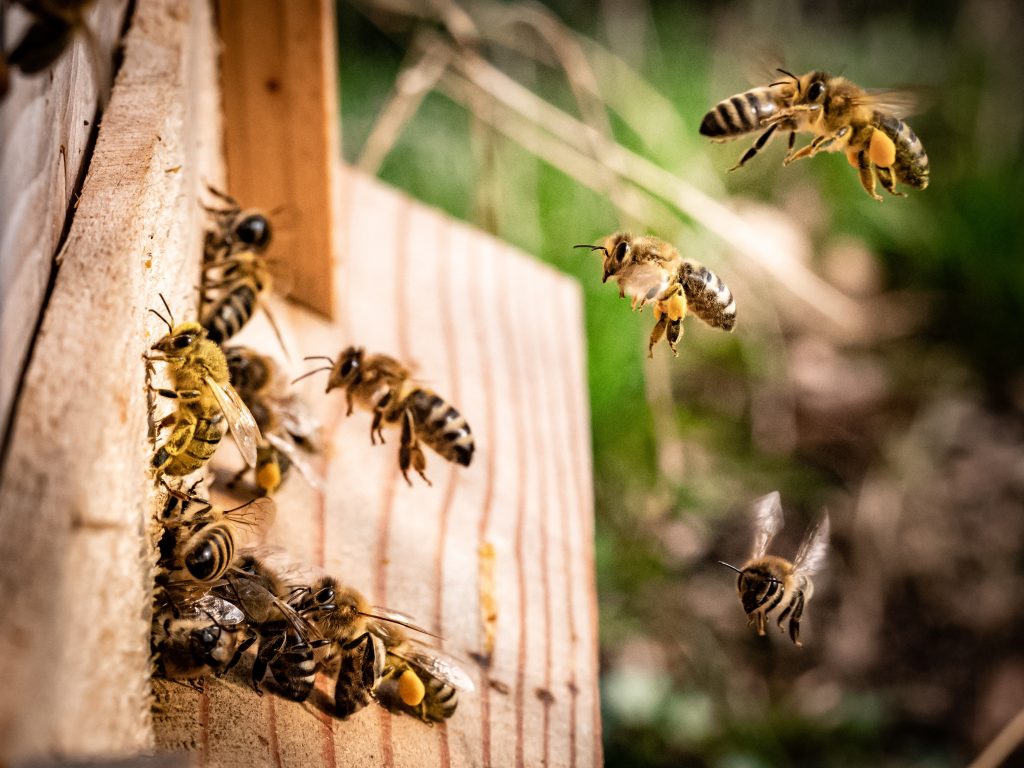
Contemporary landscape is human-driven, due to either agricultural activities, silviculture or the maintenance of semi-natural habitats. As a consequence, pollinators, including domestic honeybees, and beekeepers have to adjust to intensive changes of the forage source on a yearly basis. Professional beekeepers need to be particularly reactive and constantly informed in order to be productive and to ensure the well-being of their honeybees, because they manage hundreds or thousands of hives over a large region. Farmers also need more knowledge about the presence of honeybees in their fields.
The case study 9 of the project EFFECT in Estonia in collaboration with Estonian Land Board released a public GIS-tool to promote swift information exchange between rural landscape users, named CountrysideGIS. This tool consists of multiple thematic map layers taken from different state departments and databases, and it also provides the latest Sentinel-2 satellite images from Copernicus.
For beekeepers, this is a very useful tool because it provides special easy-to-use extractions of crop data and crop predictions for the next season. In particular, winter oilseed rape dominates many crop areas and that is where the early summer forage of honeybees comes from: knowing the field locations in advance and precisely can help beekeepers to adjust bees accordingly and maximise their well-being. On the other hand, farmers can assess the state of their crops, e.g. using NDVI-images from Sentinel. The tool also gives information about forest management, which aims to improve the forage of ‘forest-honey’ as well as organic honey. Farmers and managers of semi-natural areas can support the natural environment by planning ecological restoration using collections of historic maps and aerophotos.
GIS-tool has been launched and it’s now a reality. It has been tested both for beekeeping and in forests. It was presented in many occasions and explained to beekeepers, land planners and managers throughout workshops and seminars.
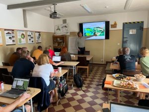
Image: Beekeepers learning to use the CountrysideGIS tool at the seminar in Olustvere (Olustvere School of Service and Rural Economics). Photo by Gerly Veeleid
For more information, please contact Jaan Liira (University of Tartu): jaan.liira@ut.ee
News by Jaan Liira, University of Tartu